


TRANSPORTATION

MINING

OIL & GAS

WATER RESOURCES

SANITATION

STRUCTURES

FORESTRY
OUR WORK

3600000 ha
SURVEYED AERIAL
PROJECTS
4000 km
SURVEYED LINEAR
PROJECTS
260 km
DESIGNED SEWER
NETWORKS
300 DESIGNED BRIDGES
1800 km
DESIGNED
RAILWAYS
1200 km
DESIGNED
ROADS
LIDAR
TECHNOLOGY


FEATURED PROJECTS


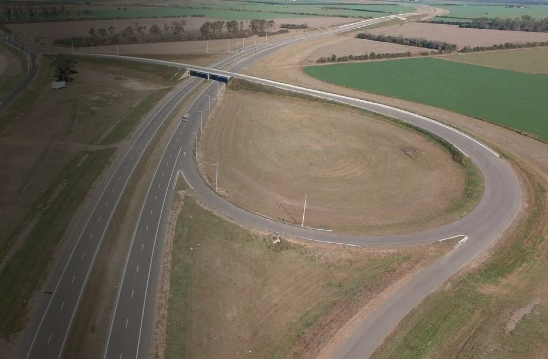
THIRD LANE ON RING ROAD, SECTION: AV. SPILIMBERGO FREEWAY INTERCHANGE – AV. COSTANERA FREEWAY INTERCHANGE
Project for Córdoba city’s highway ring road on additional lane construction planned on the inner side of both carriageways.
LEER MÁS

LIDAR AND PHOTOGRAMMETRIC SURVEY IN SALTO GRANDE
Detailed LiDAR aerial survey in lake’s area, covering 332,000 Ha.
LEER MÁS
NATIONAL ROUTE Nº34 HIGHWAY. SECTION: NATIONAL ROUTE Nº19 –RAFAELA
Project on dual carriageway for National Route Nº34 and highway cross-section adjustment.
LEER MÁS

LIDAR AND PHOTOGRAMMETRIC SURVEY PNUD
Photographic LiDAR aerial survey aiming to develop a hydrologic model for the ‘Regional Climate Change Adaptation Plan’ of the Paraná Delta.
LEER MÁS

CERRO CHENQUE - COMODORO RIVADAVIA (CHUBUT)
Detailed engineering project on Cerro Chenque’s south hillside (2011/2012).
LEER MÁS
