EXPERIENCE


THIRD LANE ON RING ROAD, SECTION: AV. SPILIMBERGO FREEWAY INTERCHANGE – AV. COSTANERA FREEWAY INTERCHANGE
Project for Córdoba city’s highway ring road on additional lane construction planned on the inner side of both carriageways.

LIDAR AND PHOTOGRAMMETRIC SURVEY IN SALTO GRANDE
Detailed LiDAR aerial survey in lake’s area, covering 332,000 Ha.
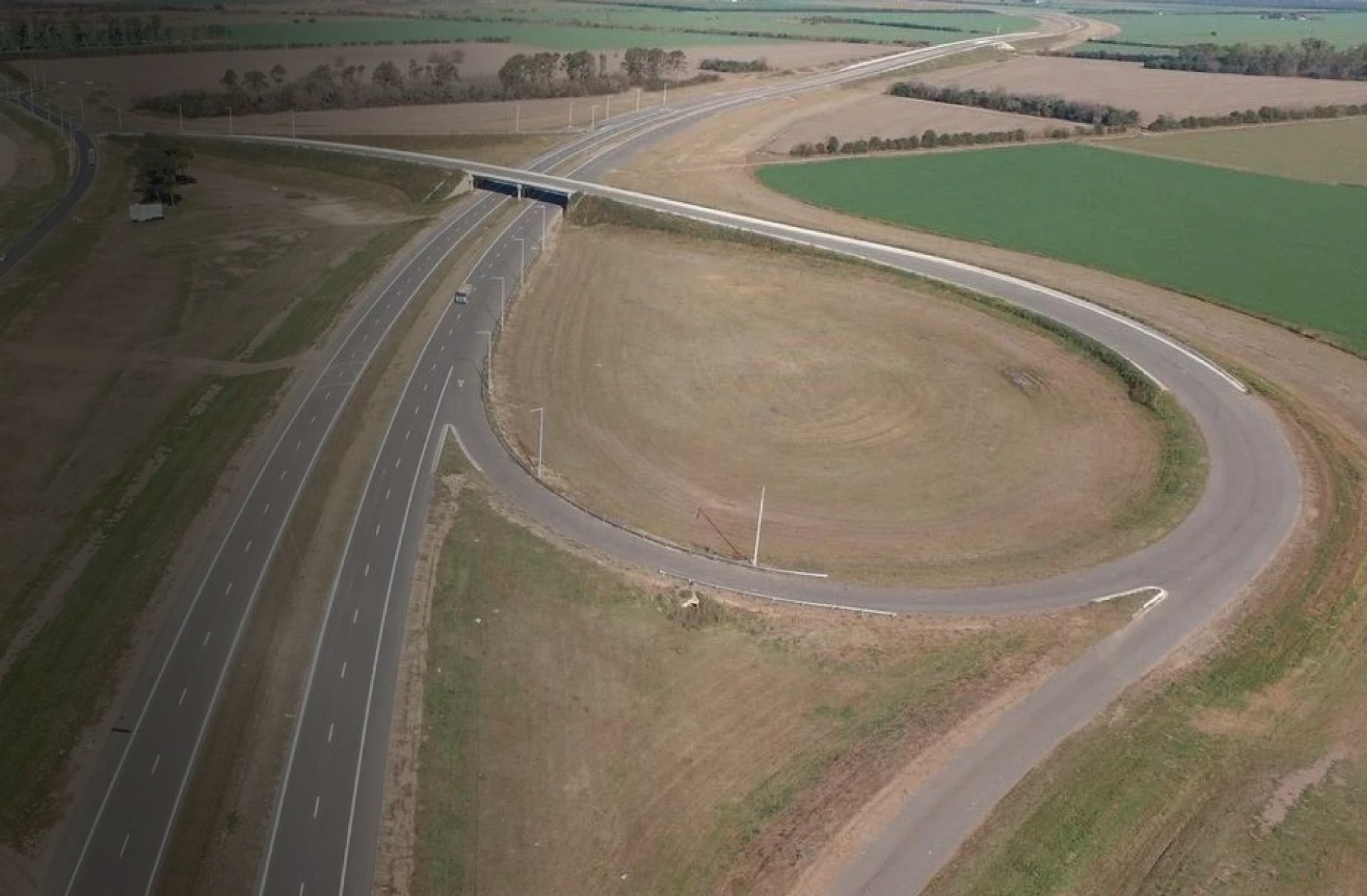
NATIONAL ROUTE Nº34 HIGHWAY. SECTION: NATIONAL ROUTE Nº19 –RAFAELA
Project on dual carriageway for National Route Nº34 and highway cross-section adjustment.

LIDAR AND PHOTOGRAMMETRIC SURVEY PNUD
Photographic LiDAR aerial survey aiming to develop a hydrologic model for the ‘Regional Climate Change Adaptation Plan’ of the Paraná Delta.

PRELIMINARY DESIGN AND CLASH DETECTION IN AV. CONSTITUYENTES UNDERPASS AND MITRE RAILWAY ‘BRANCH JOSÉ LEÓN SUÁREZ’
The preliminary design focuses on Av. Constituyentes, between Av. Gral. Mosconi and J. L. Cabezón Street.

RIO GALLEGOS SEWER NETWORK EXPANSION
The task involves developing the detailed project for the sewerage system in the neighborhoods of the expansion area of the city of Río Gallegos.

RAILWAY RING ROAD (SANTA FE)
The project involved defining the most suitable route between the towns of Santo Tomé and Laguna Paiva.

CERRO CHENQUE - COMODORO RIVADAVIA (CHUBUT)
Detailed engineering project on Cerro Chenque’s south hillside (2011/2012).
